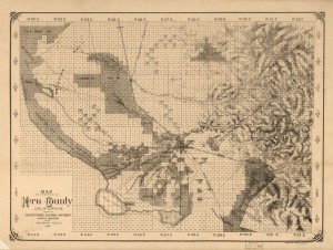
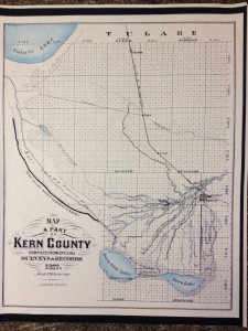
Click here to see an 1888 map of the Kern “Delta,” courtesy of the Library of Congress.
You can zoom in and scoot around the map to see the different features more clearly. It looks like the Southern Pacific Railroad was either already completed, or about to be, through Bakersfield.
You can see the different ranches including Bellevue, McClung, Greenfields, Rosedale and more. A number of canals still in use today are also already on this map, including the Beardsley. And the Kern Lake hadn’t yet been dried up.

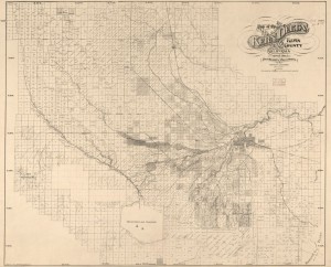
Compare that to this 1897 map created by the Kern County Land Company, also courtesy of the Library of Congress.
Not even 10 years later, the Kern Lake is gone and most of the ranches are now owned by Kern County Land Company, which renamed them “colonies” and tried to sell them off section by section to incoming homesteaders. Problem was, as I discovered in some old reports by an undercover investigator, the Land Company took all the water (but that’s a later post).


